Point Judith, Narragansett Pier Or Wakefield?
Trying to decide between Point Judith, Narragansett Pier, or Wakefield? You’re not alone. Each spot offers a different take on South County living, from walk‑to‑beach summer energy to year‑round village convenience. In this guide, you’ll learn how these three hubs compare on beaches, walkability, dining, housing prices, rental rules, schools, and more so you can choose with confidence. Let’s dive in.
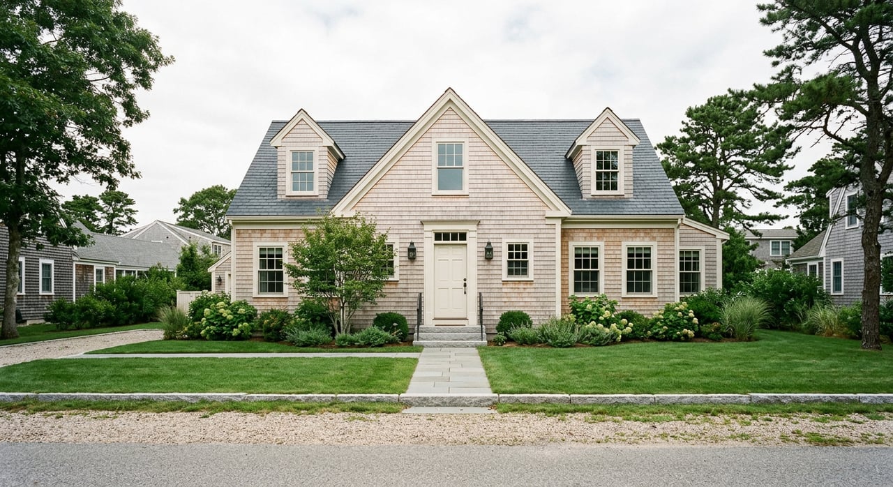
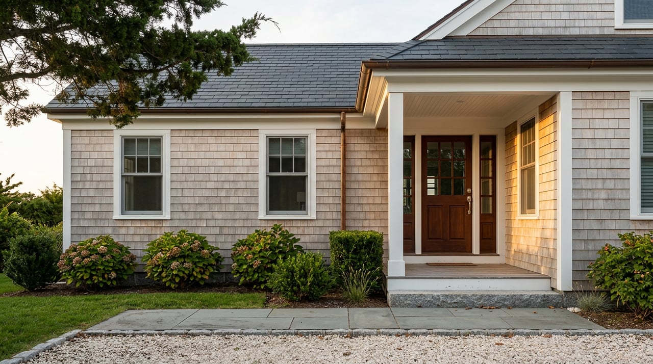
The Pier is the compact, walkable seaside district centered on Narragansett Town Beach, Ocean Road, Boon Street, and Narragansett Avenue. It’s what most people picture when they think of “Narragansett.” The town runs the beach and seasonal programs, and the area has a lively summer rhythm. For town beach details and operations, see the town’s overview of Narragansett Town Beach and amenities at the Pier Marketplace area (Narragansett Town Beach overview).
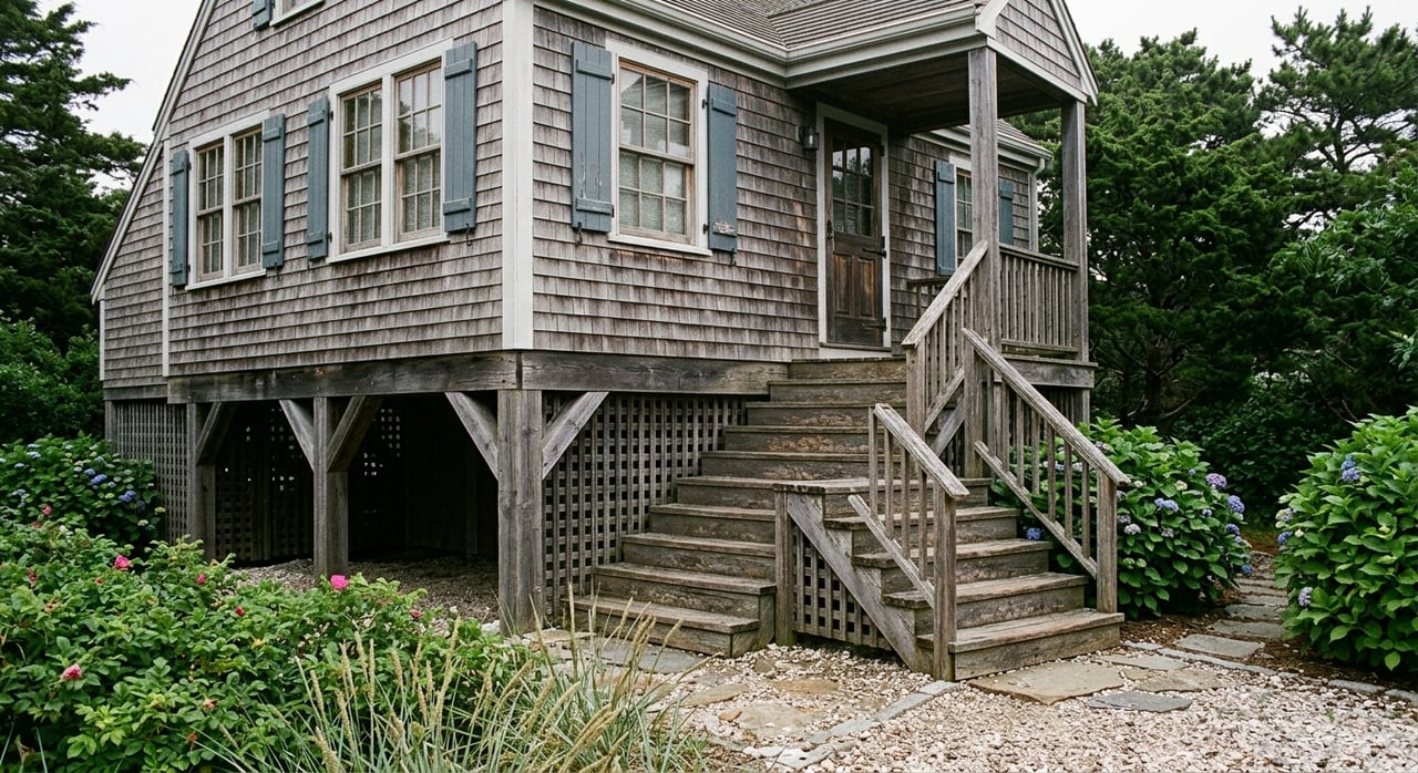
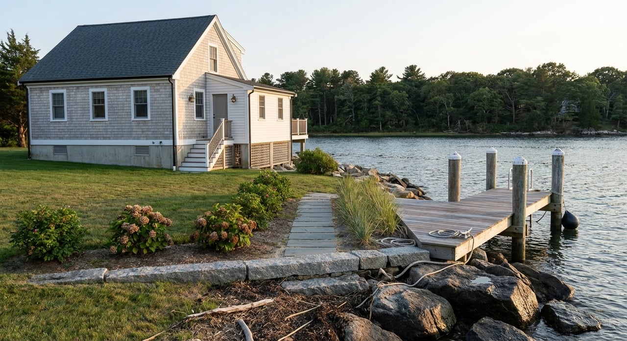
Point Judith anchors the southern tip of Narragansett and includes the Port of Galilee, a working fishing harbor, plus the year‑round Block Island Ferry terminal. The vibe is maritime and functional, with jetties, salt ponds, and ocean exposures. If you want direct access to the ferry and the state’s major fishing fleet, start your research with the terminal’s official page (Block Island Ferry at Point Judith).
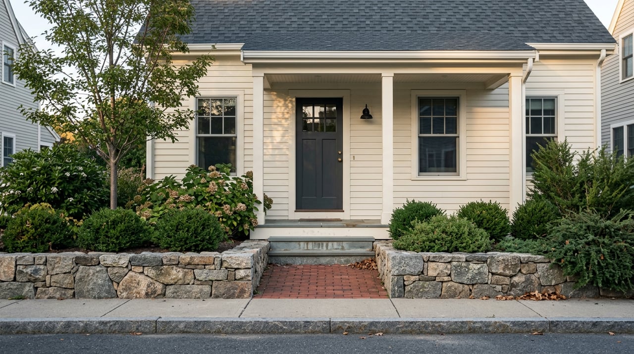
Wakefield is the inland village center of South Kingstown and the area’s year‑round hub for schools, services, groceries, and Main Street businesses. It’s a short drive to Scarborough, Roger Wheeler (Sand Hill Cove), and Point Judith. If you prefer a steady village rhythm with quick beach access by car, Wakefield fits that profile.
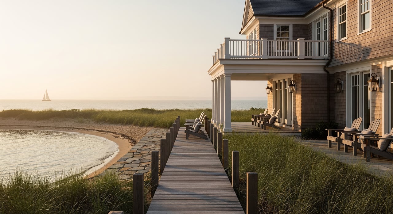
If beach time is your top priority, the Pier gives you a wide sandy town beach, lifeguards in summer, and easy surf checks on foot. Town Beach is a major community focal point with seasonal staffing and passes. For nearby state beaches like Scarborough, the Rhode Island Department of Environmental Management regularly shares project and operations updates (RIDEM state beach projects and updates).
Point Judith is the coast’s working heart, not a long, resort‑style stretch of sand. You’ll find harbor views, jetties, a breachway, and quick access to Point Judith Pond and open water. Ferries to Block Island operate year‑round with seasonal schedules (Block Island Ferry at Point Judith). Surfers and anglers watch conditions along nearby ocean‑facing points and reefs, though the immediate harbor is geared to the fishing fleet rather than lounging on the sand.
Wakefield isn’t on the beach, but you can reach Scarborough, Roger Wheeler, and Matunuck by car in about 5–15 minutes depending on where you start. That balance can be ideal if you want quick access to the shore without living amid peak‑season crowds. RIDEM manages the nearby state beaches and seasonal operations (RIDEM state beach projects and updates).
The core Pier district is the most walkable of the three. Addresses near Narragansett Avenue often show Walk Scores in the 60s, meaning you can walk to restaurants, shops, and the beach from many central blocks. Check a sample to get a feel for block‑by‑block variation (Walk Score at Narragansett Ave).
Walkability here is local to the harbor: you can stroll between the ferry, a few seafood spots, and dockside businesses. For everyday errands like full groceries or multiple services, you’ll likely drive a short distance. Summer parking and traffic patterns are also worth keeping in mind around the port.
Wakefield’s Main Street offers a true village center with cafes, a bakery/market, and services that draw steady year‑round foot traffic. Many residents can walk to dining and errands, then drive a few minutes to the beach. If you want an everyday neighborhood rhythm plus quick coastal access, Wakefield stands out.
Expect a larger, seasonal dining scene clustered around Ocean Road, Pier Marketplace, and Boon Street, including a food‑hall style market and a mix of casual and sit‑down options. Some places run year‑round with reduced winter hours. To see how the area’s food hall concept adds variety, browse coverage of Boon Street Market’s opening (Boon Street Market feature).
Seafood rules the day: clam shacks, fish houses, and a few waterfront spots tied to the harbor. This is more of a daytime and early‑evening scene than late‑night nightlife.
Wakefield’s restaurants and pubs operate year‑round and serve steady local traffic. You’ll find family‑friendly places, quick eats, and some elevated options along and near Main Street.
Smart pricing starts with two anchors: stable town medians from the American Community Survey for context, and a recent market snapshot to reflect current conditions. Because ACS tracks multi‑year owner‑occupied data and MLS numbers fluctuate monthly, you should expect differences.
What you’ll see when shopping:
If you’re comparing specific streets, ask for a custom comp set and recent absorption data. A neighborhood‑level review will help you understand how lot size, elevation, and flood zone affect pricing.
Narragansett adopted a comprehensive short‑term rental ordinance effective Sept 1, 2024. It includes a 7‑night minimum, permits with annual caps and fees, inspections, and local agent requirements. Implementation has seen updates and litigation, so always confirm the latest details on the town’s page (Narragansett STR ordinance).
South Kingstown adopted registration requirements in 2024 as well, and the town has posted notices about suspended registration and enforcement while matters are reviewed. Check the current status before you buy with rental plans in Wakefield or nearby areas (South Kingstown STR updates).
Bottom line for investors: If rental income is important to your purchase, verify today’s permitting rules, minimum stays, and caps with the town and factor potential changes into your underwriting.
Waterfront and low‑lying homes around the Pier and Point Judith can face sea‑level rise, storm surge, and erosion exposure. Rhode Island and federal partners are active on coastal projects that improve resilience at nearby beaches and infrastructure. Before you buy, check FEMA flood maps, local floodplain overlays, and recent project updates to understand insurance and mortgage implications (RIDEM coastal project update).
Each of these hubs delivers a distinct version of the South County lifestyle. The right fit comes down to how you balance beach proximity, year‑round convenience, price point, and rental goals. If you want a tailored compare‑and‑contrast with current listings, flood maps, and a pricing plan, we’re here to help. Connect with the Donna Dean Team for local guidance that’s rooted in decades of coastal expertise.


We pride ourselves in providing personalized solutions that bring our clients closer to their dream properties and enhance their long-term wealth. Contact us today to find out how we can be of assistance to you!